Jump to: Our Verdict / Features / Specifications
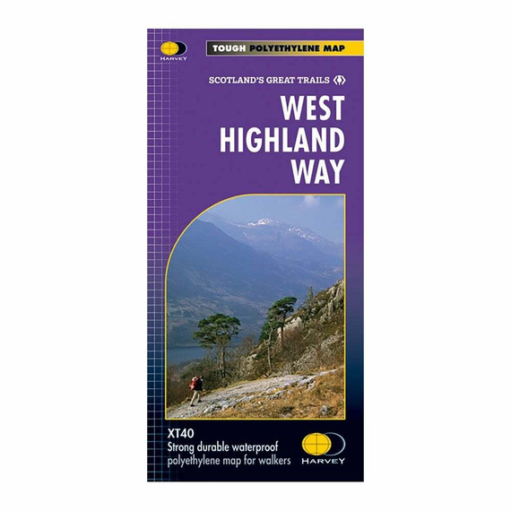
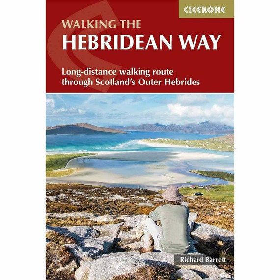
Guidebook to walking the West Highland Way National Trail, a 95 mile Scottish long-distance route from Milngavie near Glasgow to Fort William, passing Loch Lomond and crossing Rannoch Moor. Suggested itineraries over 6 to 9 days. Includes accommodation guide and pull-out 1:25K OS map booklet.
Cicerone says
A guidebook to Scotland’s West Highland Way, a 95-mile walk from Milngavie near Glasgow to Fort William, passing Loch Lomond, crossing Rannoch Moor and finishing in the shadow of Britain’s highest mountain. The walk, which takes roughly one week to complete, is described in seven stages, with each stage ranging from 8 to 20 miles. The guide details the ‘classic’ south-north direction but also provides a summary description for those wanting to walk the route in the opposite direction.
The guidebook, which features step-by-step route descriptions, 1:100K mapping, handy practical information as well as notes on the region’s history, culture and geography, is accompanied by a separate, pocket-sized 1:25K OS map booklet, providing all the mapping you need to walk the route.
Passing from the lowlands to the highlands, the West Highland Way, which is one of Scotland’s Great Trails, showcases the splendour of glens flanked by great mountains, majestic moorland and sprawling farmland. It is the perfect adventure for distance walkers keen to discover the wild beauty of western Scotland.
Our Verdict
For nearly 50 years Cicerone have been producing guidebooks on recognised treks, regions, areas and general tips for hikers.
We have used them countless times and they've always provided excellent insight and knowledge that you only get through experience, giving you the edge to make your trip a success and more enjoyable too.
If you're a gram counter you can easily remove sections of the book to take with you making your own ultra-lightweight guidebook with only the essential sections that you require.
- Reviewed by Ultralight Outdoor Gear
Features
Seasons
May-June and September-October avoid the worst of the midges, but suitably experienced backpackers can do this walk at any time of year.
Centres
The walk traditionally starts in Milngavie, on the outskirts of Glasgow (accessible by rail), and concludes at Fort William (likewise). There are few towns or villages en route where supplies can be had: Drymen, Crianlarich, Tyndrum and Kinlochleven
Difficulty
The walking is not difficult for anyone accustomed to regular walks longer than 10 miles, although there is ample scope to shorten almost all of the days, and to offload the pack carrying onto an independent service that will transport your baggage for you.
Must See
The West Highland Way embraces diversity, from the urbanity of Milngavie to the days in the company of Loch Lomond, and then the striding splendour of Rannoch Moor. The haul from Glencoe, under the gaze of Buachaille Etive Mòr, up the Devil's Staircase, then into the hidden valley of Lairig Mòr, are stages to be savoured.
Specifications
- Edition: Fourth
- Number of pages: 144
- Size: 17.2 x 11.6 x 0.9cm
- Weighs 250g
Contents
Introduction
From the Lowlands to the Highlands
How hard and how remote?
Planning your trip
Suggested itineraries
When to go
Getting there and back
Transport along the route
First nights and last nights
Accommodation en route
Facilities en route
Pack-carrying services
Cash management
Preparation and what to take
Planning day by day
Using this guide
Digital and printed maps
Waymarking
Emergencies
Weather forecasts
Phones and internet
All about the Highlands
Geography
Geology
Plants and wildlife
History and culture
Food and drink
The West Highland Way
Stage 1 Milngavie to Drymen
Stage 2 Drymen to Rowardennan
Stage 3 Rowardennan to Crianlarich
Stage 4 Crianlarich to Bridge of Orchy
Stage 5 Bridge of Orchy to Kingshouse
Stage 6 Kingshouse to Kinlochleven
Stage 7 Kinlochleven to Fort William
Appendix A Useful contacts
Appendix B Accommodation
Appendix C Further reading


